DCS South Atlantic Map by RAZBAM: A mission creator's perspective
- Caio "Hueman" Barreto

- Jun 11, 2022
- 7 min read
Updated: Dec 6, 2023
After months of teasing, the long-awaited South Atlantic map by RAZBAM Simulations has released in early access for Digital Combat Simulator World. Our first impression of this new terrain mainly comes from a mission editor’s point of view.
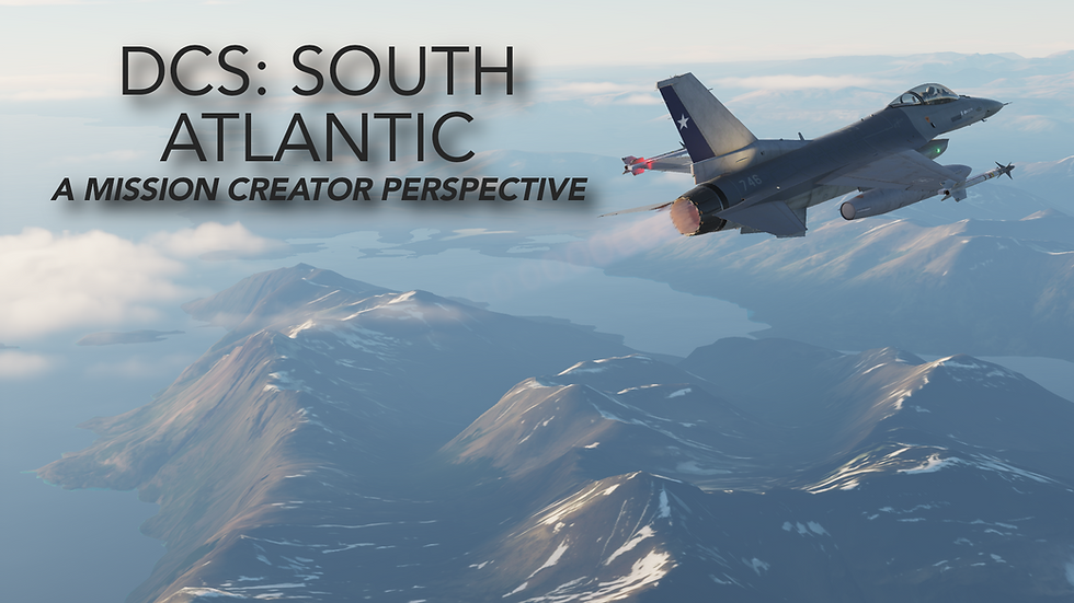
The fanfare surrounding this new terrain is a combination of a much needed addition of places to fly and the historic significance of the Falklands War of 1982. While DCS is well known for containing many high fidelity aircraft modules, it has always had a distinct lack of locations to fly. Unlike Microsoft Flight Simulator that can provide an entire planet to traverse, DCS mainly offers specific regions for players to fly, train and fight in. Though DCS was released on October 17th, 2008, there are still only seven terrains (aka maps, regions) to utilize. Now that the South Atlantic has been released, the number has risen to eight.
THE VIEW: HIGH ALTITUDE VS LOW ALTITUDE
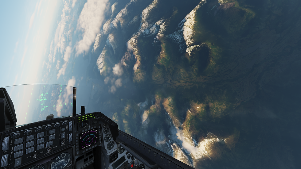
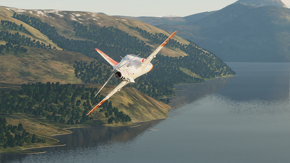
Though this is not mission editor related, the overall look of the map being a consistent point of attention is something that should be addressed. In promotional content leading up to the release of the South Atlantic the beauty of the terrain has been shown in both videos from content creators with early access or promotional screenshots from its developer. This map does in fact look great from the high altitudes that fixed-wing aircraft normally operate at. However, flying closer to the earth reveals a noticeable decrease in the image resolution of the land. This is unlike the Syria map created by Ugra Media which launched in early access with an overall higher quality which was well known for being difficult to run on lower-end personal computers. While Syria was developed to be better optimized with many additions to the map over time, the early access South Atlantic map has launched with an overall lower quality in textures. There is time for improvement, of course, as this is an early access release, but that is the current state of things.
GEOGRAPHY AND MISSION CREATION
The first thing players will notice upon looking at the map is the pretty small number of airfields. While a handful of airfields in the region are indeed missing in this early access release (like for instance, the airstrip at San Julián), it's not too far off from reality. The area portrayed on the map is very sparsely populated, consisting mostly of cold, windy, arid Patagonian steppes and deserts to the east in Argentina and complex, fjord-like terrain and temperate forests to the west in Chile divided by the Andes. Most of Chile's and Argentina's population lives further up north, in regions with more hospitable geography and climate.
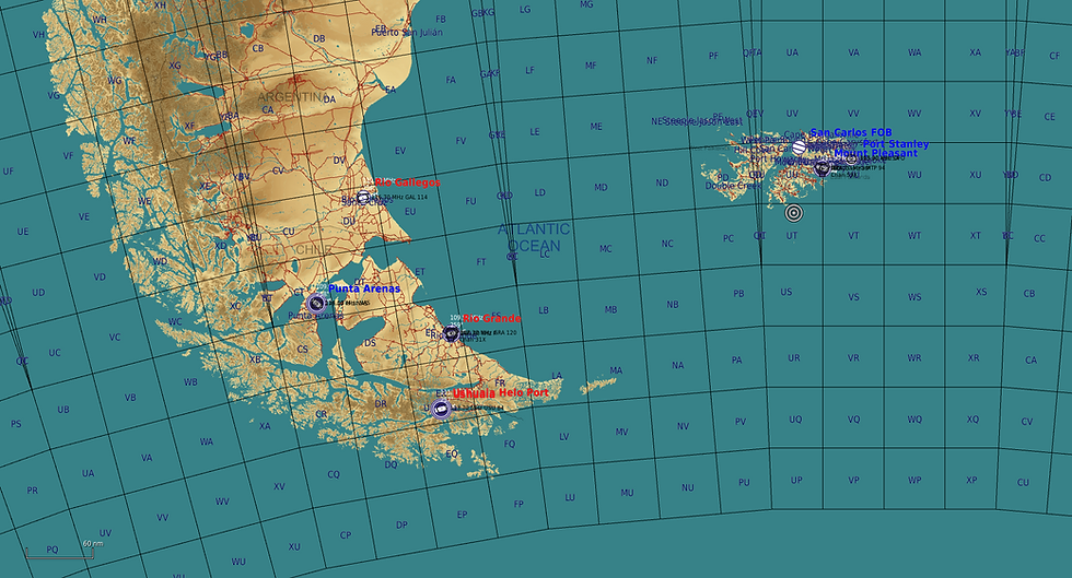
As a result, the area covered by the map is populated mostly by relatively small cities and scattered towns, lacking huge international airports and the main Chilean and Argentinian military airbases around Santiago and Buenos Aires. Instead, the only two truly large airfields available to players are Carlos Ibáñez International Airport (otherwise known as Punta Arenas Airbase) on the south of Chile, and RAF Mount Pleasant on the eastern side of the Falklands islands, with a handful of smaller airports and airstrips scattered around.
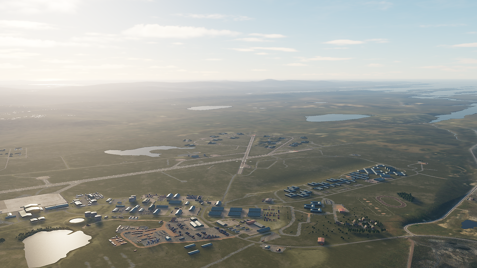
Combined with the fairly long distances involved for some mission profiles - particularly the over 300 nautical mile journey between the Falklands and mainland South America - this means fuel management will be much more critical than in maps with closer and more plentiful airfields, such as the Caucasus, Persian Gulf or Syria. Players will have to know their aircraft's capabilities with different loadouts, watch their fuel consumption and brush up on their navigation and in-flight refueling skills.
The reward for doing so is being able to explore the many different possibilities this map offers in terms of mission scenarios. Do not be fooled by the low population density - the geography and history of this region opens up many doors for mission creators. But just what sort of scenarios can we get out of a bunch of cold rocks in South America, I hear you ask? In the following segment, we would like to discuss just a few of the possibilities.
THE OBVIOUS: FALKLANDS WAR OF 1982
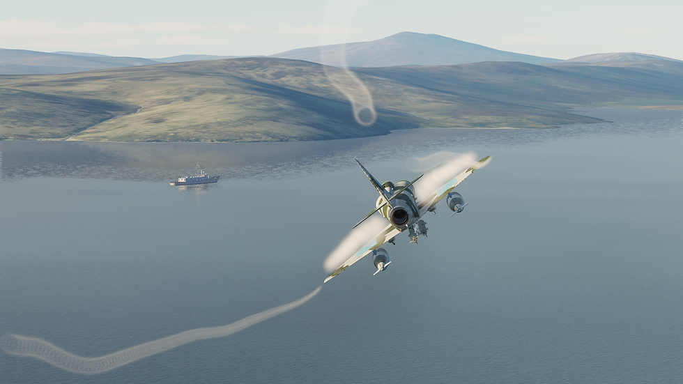
Naturally, the main historical scenario and raison d'être of this map is the Falklands War of 1982. Though the islands are presented in their modern status, with a large airbase at Mount Pleasant, the forward operating base built during the British landings in San Carlos bay for Harrier GR.3 operations is also modeled.
Together with the airfield at Port Stanley, used by Argentina (as Puerto Argentino) during the war to launch Pucará and MB 339 sorties, this allows mission creators to recreate missions from all phases of the war. The greatest limitation here will be available player aircraft - RAZBAM plans to release an asset pack with British naval assets, but in terms of playable aircraft, the AV-8B lacks much of the air-to-air capability of the Sea Harriers used in the conflict (And crucially, it is essentially impossible to get AI Harriers to engage air targets - it’s hard to stress just how terrible the Harrier’s AI is) and the Mirage 2000C is far too capable to be an adequate stand-in for Argentine Mirage IIIs and Daggers. The upcoming Mirage F1 might be able to better fill that role, as well as the role of Argentine Super Étendards armed with Exocet missiles. No aircraft similar to the Pucará are in DCS yet (apart from mods), with the Mosquito being the most likely stand-in for that particular aircraft..
That is not to say there are no aircraft which fit in perfectly, though. The South Atlantic map will make a nice home for the upcoming MB 339 module, as well as the community A-4E mod. These two aircraft were used by Argentina in daring anti-ship missions and flying them in this role will no doubt be an interesting challenge for players, both in terms of combat and navigation.
FALKLANDS WAR 2.0
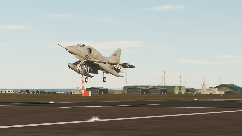
After the war, the British were understandably concerned with strengthening their defenses on the Falklands, a concern which to a certain extent still exists to this day. RAF Mount Pleasant, the largest and most well-equipped airbase on the map, was built in 1985 to provide the islands with permanent air cover and is home to No. 1435 Flight, a RAF unit equipped with four Typhoon fighters. Fictional and alternate history scenarios in the Falklands will be right at home for Heatblur's and TrueGrit's upcoming Typhoon module, perhaps being put up against a JF-17 equipped Argentina.
Modern scenarios are not the only ones on the table, though. Before the Typhoons, Mount Pleasant was guarded by Phantom and Tornado aircraft. As such, this map is also a historical home for the much anticipated F-4 module, and Cold War scenarios in the region could be interesting. Perhaps we could see Britain and Argentina teaming up against a Soviet amphibious assault, for instance.
FLAMES IN TIERRA DEL FUEGO
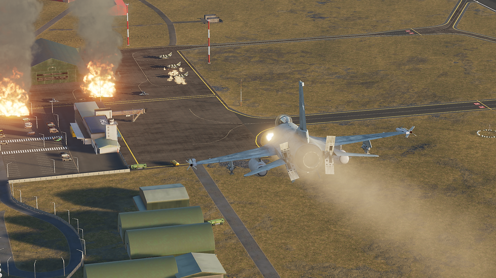
Old rivalries and border disputes between countries exist in South America just as much as in Europe. In fact, shortly before the Falklands War, tensions were high between Chile and Argentina over the disputed and strategically important Tierra del Fuego, the archipelago at the southernmost tip of South America.
Having the two opposing sides in a mission separated by the Andes could be an interesting proposition. Similar mission layouts are already used by some mission creators with the Caucasus map, with both sides being separated by the Caucasus mountains. In the South Atlantic map, there are less airbases to go around and the mountain range is less deep across the frontline but more complex in shape.
MAGELLAN STRAITS CROSSING
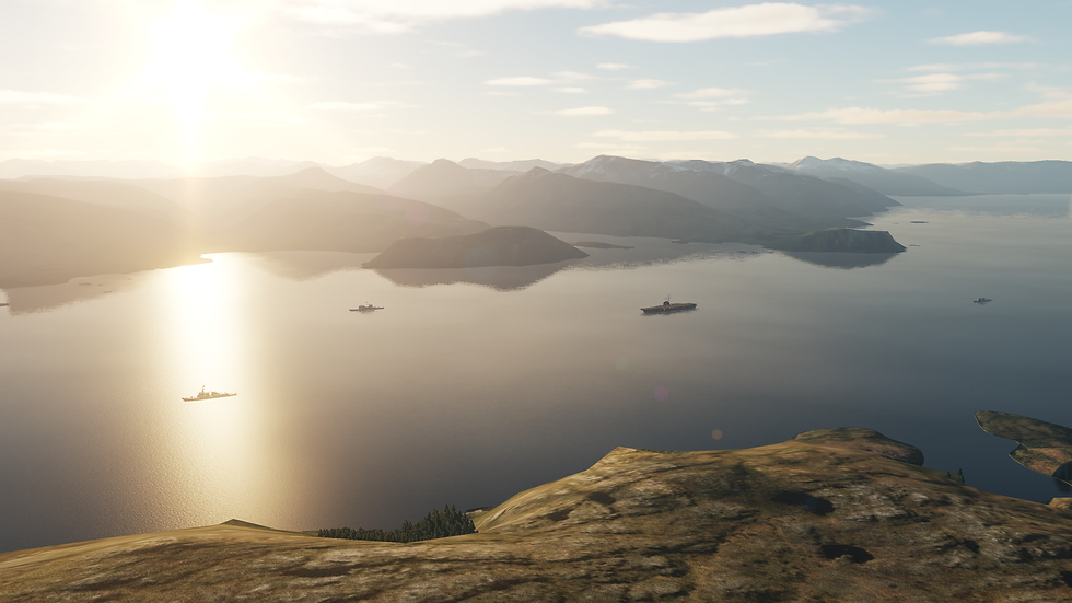
American Nimitz-class supercarriers are too large to pass through the Panama canal - whenever one gets their home port changed from the East to the West Coast or vice-versa, they must traverse between the Atlantic and Pacific oceans the old school way: going the long way around South America. On their long journey, they'll usually take the opportunity to conduct training exercises with Brazilian, Uruguayan, Argentine and Chilean navies and air forces.
Because the waters around Cape Horn are treacherous and the weather usually bad, most skippers will instead choose to go through the Straits of Magellan, a strait in southern Chile which separates the Latin American mainland from the archipelago of Tierra del Fuego. It is a historically important sea route, and also a major chokepoint - a scenario in which players must defend a carrier battle group ambushed on the straits and ensure their safe passage is a unique possibility offered by this map.
DYNAMIC MULTIPLAYER MISSIONS
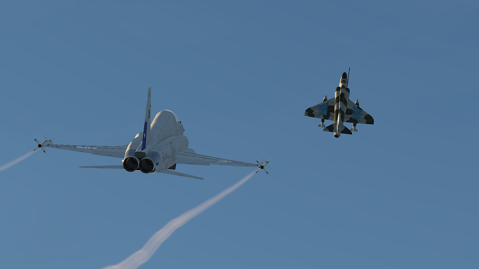
Most likely, the majority of multiplayer servers which choose to host this map are going to run missions with completely custom scenarios just like we see on other maps, with mission creators striving to create a framework which will allow for interesting gameplay within the geographical constraints of the map. PvE and PvP missions where airfields can be captured are of particular interest for this map.
Because there are only two large airbases in the entire map, the importance of controlling them skyrockets. The low number of airfields and the large average distance between them means that careful mission planning is suddenly a lot more important. Much of the map is vast open ocean, which opens up a lot of space for naval operations while still offering much more land mass than Marianas, for instance - but also means players will often find themselves navigating over hundreds of miles of featureless terrain with no possibility of terrain masking.
Likewise, most terrain in the map is very flat, making it difficult for people to sneak around - in complete contrast, the region around the Andes is extremely mountainous and full of complex valleys perfect for hiding from pesky enemy radars. Players will no doubt seek to use this highly contrasting terrain to their advantage, and mission creators will need to plan around this unique geography.
CONCLUSION
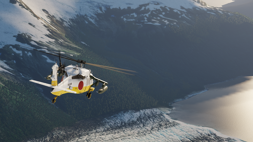
South Atlantic is the first DCS map located in the southern hemisphere (players will finally be able to use the “S” button when punching in coordinates!), and it covers an area which saw one of the most important - if often forgotten - aerial battles in recent history, opening up previously unexplored historical scenarios for combat flight simulation enthusiasts.
Whether you are the type of person that prioritizes aircraft simulation or cares for the finer details of the terrain you’re flying over, the South Atlantic map is overall a welcome addition to Digital Combat Simulator World. It has a lot of room for improvement at this stage, primarily when it comes down to the low-level textures and terrain mesh; but the opportunities for new missions, scenarios and online multiplayer servers centered around the map are a benefit to DCS as a whole.
About the Writer
Caio "Hueman" Barreto

An incurable aviation fanatic since childhood, fascinated by the design and history of practically anything that flies. A long-time fan of flight games, he currently studies aeronautical engineering and pursues his hobbies of drawing, writing and flight simulation on his spare time. See Staff Profile.


.png)